1
/
of
1
BACKROAD Map: Cariboo Region BC
BACKROAD Map: Cariboo Region BC
SKU:MA0001
Regular price
$10.95 CAD
Regular price
Sale price
$10.95 CAD
Unit price
/
per
Shipping calculated at checkout.
Couldn't load pickup availability
Share
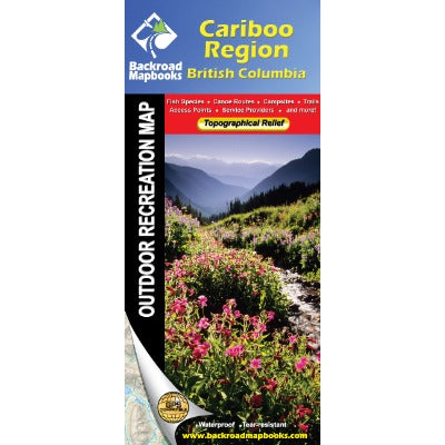
The Cariboo Region Recreation Map takes you to the heart of outdoor recreation in British Columbia. The area has long been a popular destination for visitors. From its historical beginnings along the Gold Rush Trail to the more recent quest for rainbow trout or trail riding into large areas of undeveloped rangeland there is plenty to see and do. The map covers the vast track of land east of the mighty Fraser River. Highway 97 links the main centres of the area: 100 Mile House, Williams Lake and Quesnel, while backroads take you deeper into the wilderness around places like Barkerville, Horsefly and Likely.
MAP SCALE:
2 sides @ 1:150,000
REGIONAL CITIES/PARKS:
100 Mile House, Barkerville, Horsefly, Lac la Hache, Likely, Quesnel, Wells, Williams Lake
View full details
MAP SCALE:
2 sides @ 1:150,000
REGIONAL CITIES/PARKS:
100 Mile House, Barkerville, Horsefly, Lac la Hache, Likely, Quesnel, Wells, Williams Lake